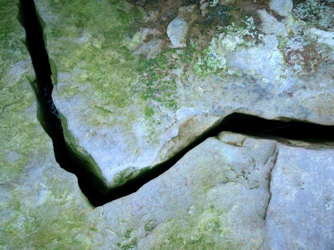

Thousands got an early wake up call Tuesday morning when a magnitude 4.4 earthquake rumbled for a good five to six seconds at least.
The immediate USGS report recorded the quake at precisely 5:21am and 36 seconds.
It also centers the shaker 17 miles east northeast of Greenfield, California, or 17 north northeast of King City.
That means it came along the notorious San Andreas Fault. (More on that below.)
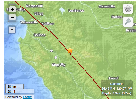
A map of the USGS location of the earthquake.
The map provides a powerful reminder that if California cracked in half along that border, not only would Monterey County be a pretty sweet island, south county—including oft-marginalized Greenfield—would enjoy some awesome waterfront property.
Now to go find (and comfort) my cat.
More from the USGS site in the meantime:
The San Andreas Fault forms the main strand of the plate boundary, running from the Gulf of California (Baja California, Mexico) north to the region of Cape Mendocino.
The fault in the San Francisco Bay region is a largely strike-slip fault running through the Santa Cruz Mountains, the Gulf of the Farallons west of the Golden Gate, through Tomales Bay and Bodega Bay, and north to Fort Ross and Point Arena.
The fault in this region is locked, exhibiting no creep at the surface and generating very few microearthquakes that are associated with minor slipping at depth. Through the San Francisco Bay Area, the slip rate on the San Andreas Fault is about 20 mm/yr (4/5 inch/year).


(0) comments
Welcome to the discussion.
Log In
Keep it Clean. Please avoid obscene, vulgar, lewd, racist or sexually-oriented language.
PLEASE TURN OFF YOUR CAPS LOCK.
Don't Threaten. Threats of harming another person will not be tolerated.
Be Truthful. Don't knowingly lie about anyone or anything.
Be Nice. No racism, sexism or any sort of -ism that is degrading to another person.
Be Proactive. Use the 'Report' link on each comment to let us know of abusive posts.
Share with Us. We'd love to hear eyewitness accounts, the history behind an article.