
The Salinas River continues rising even during a break in the rain, as water in its upriver tributaries flows toward the ocean.
Overnight on Wednesday night, Jan. 11-12, the river was flowing over the Gonzales River Bridge. Hydrologic modeling shows the river reaching flood stage at Spreckels at 11pm on Jan. 12, potentially causing closures on major roads.
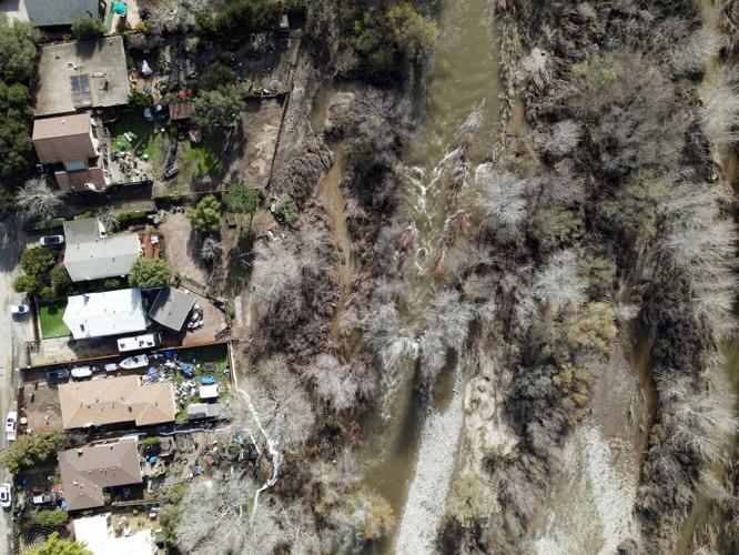
The flow on the Carmel River, meanwhile, has receded, revealing some of the impacts from earlier this week.

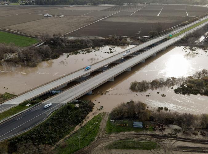
Highway 68 crosses over the Salinas River, which hydrologic models show could flood starting tonight, Jan. 12.

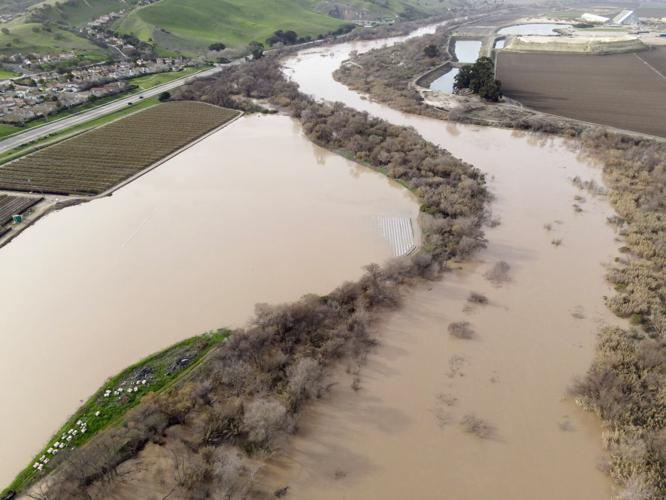
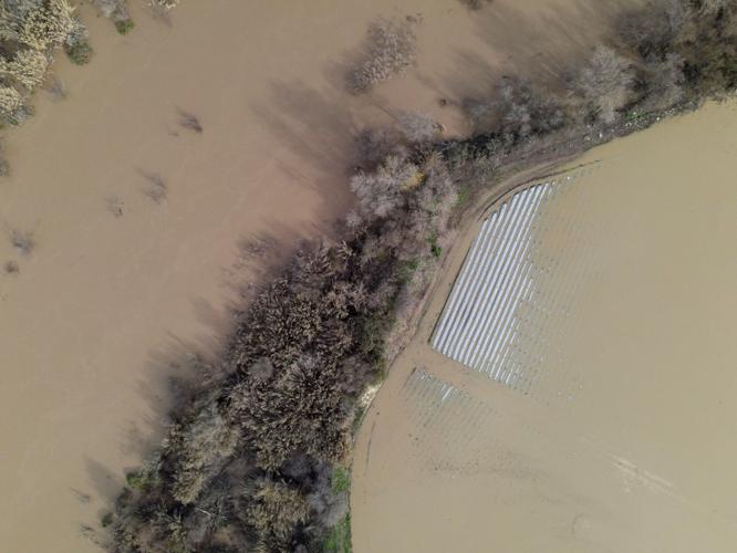
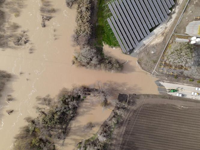
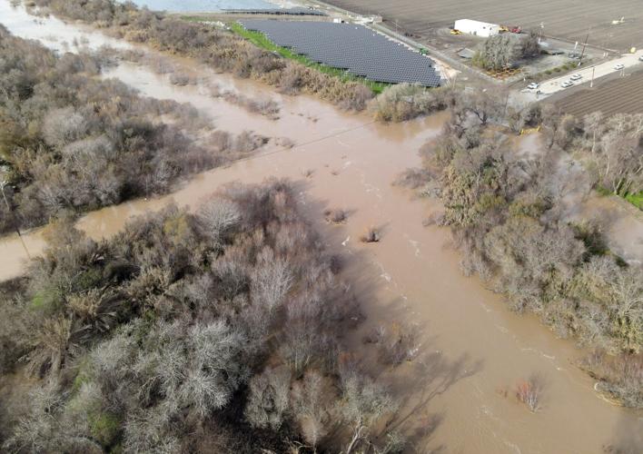
A flooded farm in Spreckels as seen on Thursday, Jan. 12. Monterey County officials continue watching hydrologic models for potential flooding on the Salinas River.

A flooded farm field in Spreckels during January's storms.

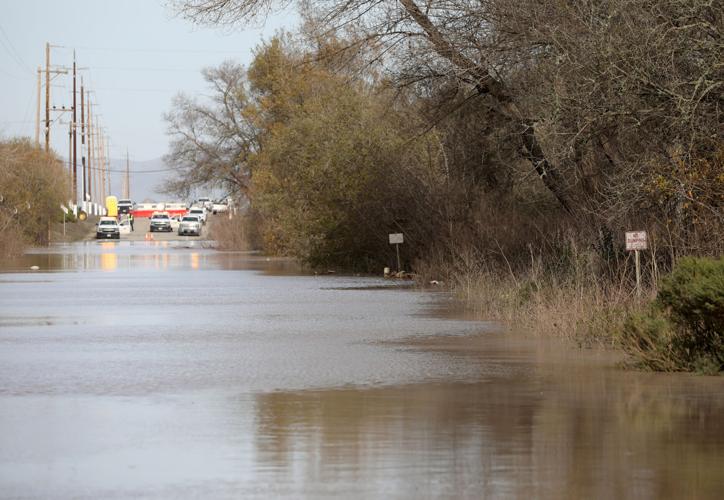
The Salinas River has flooded parts of South Davis Road.

Davis Road between Hitchcock and Reservation roads has been closed to traffic since Jan. 5 due to flooding.

The flooded portion of South Davis Road, where it crosses the Salinas River.

Debris left behind as the Carmel River recedes, as seen near Carmel Valley Village.

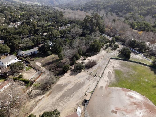
The baseball fields at Dampierre Park in Carmel Valley were flooded by the Carmel River.


(1) comment
It is Davis Road not David Road
Welcome to the discussion.
Log In
Keep it Clean. Please avoid obscene, vulgar, lewd, racist or sexually-oriented language.
PLEASE TURN OFF YOUR CAPS LOCK.
Don't Threaten. Threats of harming another person will not be tolerated.
Be Truthful. Don't knowingly lie about anyone or anything.
Be Nice. No racism, sexism or any sort of -ism that is degrading to another person.
Be Proactive. Use the 'Report' link on each comment to let us know of abusive posts.
Share with Us. We'd love to hear eyewitness accounts, the history behind an article.