
The River Fire began near the top of one Pine Canyon Road, off River Road just about five miles south of Salinas. The area under evacuation advisory now extends as far south as another Pine Canyon Road, this one outside of King City, the southernmost city in Monterey County.
The new evacuation advisories issued today bring the total number of Monterey County residents under evacuation order or advisory due to the River and Carmel fires to about 64,700.
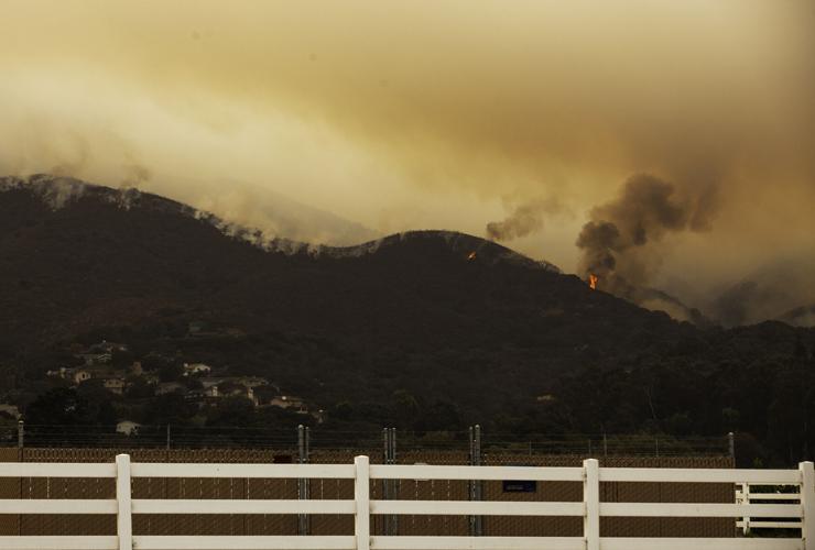
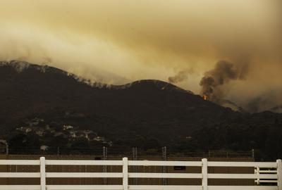
The River Fire remained active on its southern edge throughout the day on Saturday, Aug. 22, prompting officials to order an evacuation throughout much of the Santa Lucia Highlands wine country at 5:35pm.
They followed this evening at 8pm with an expanded evacuation advisory area to the south. Officials advise people not to panic; evacuation advisories are potential precursors to orders, depending on what the fire does, and are meant to provide an opportunity to prepare your belongings in case an evacuation order follows.
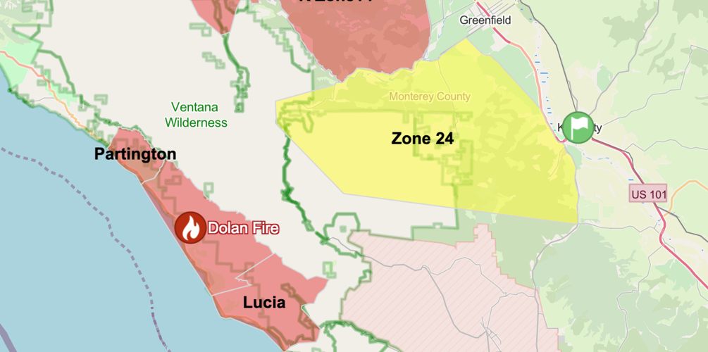
The new evacuation advisory includes runs south of Carmel Valley Road and extends on the east to Elm Avenue and Central Avenue in the Greenfield area, including the Green Bridge area, extends and to Highway 101 and Jolon Road on the east in King City.
The advisory area includes the neighborhood around Arroyo Seco and all of the recreational area and campgrounds at Arroyo Seco, and extends west into the include Los Padres National Forest up to Junipero Serra Peak.

The evacuation advisory area, shown in yellow, includes a portion of the Ventana Wilderness and Arroyo Seco on the west, and extends to Central Avenue outside of Greenfield and to Highway 101 in King City. To view your address, visit the Monterey County Office of Emergency Services page.
Today, the areas of Carmel Valley Village and San Benancio were evacuated to the east of the River Fire because weather and fire officials are preparing for a potential change in direction due to predicted weather overnight, with thunderstorms that could bring dry lightning and wind gusts.


(0) comments
Welcome to the discussion.
Log In
Keep it Clean. Please avoid obscene, vulgar, lewd, racist or sexually-oriented language.
PLEASE TURN OFF YOUR CAPS LOCK.
Don't Threaten. Threats of harming another person will not be tolerated.
Be Truthful. Don't knowingly lie about anyone or anything.
Be Nice. No racism, sexism or any sort of -ism that is degrading to another person.
Be Proactive. Use the 'Report' link on each comment to let us know of abusive posts.
Share with Us. We'd love to hear eyewitness accounts, the history behind an article.